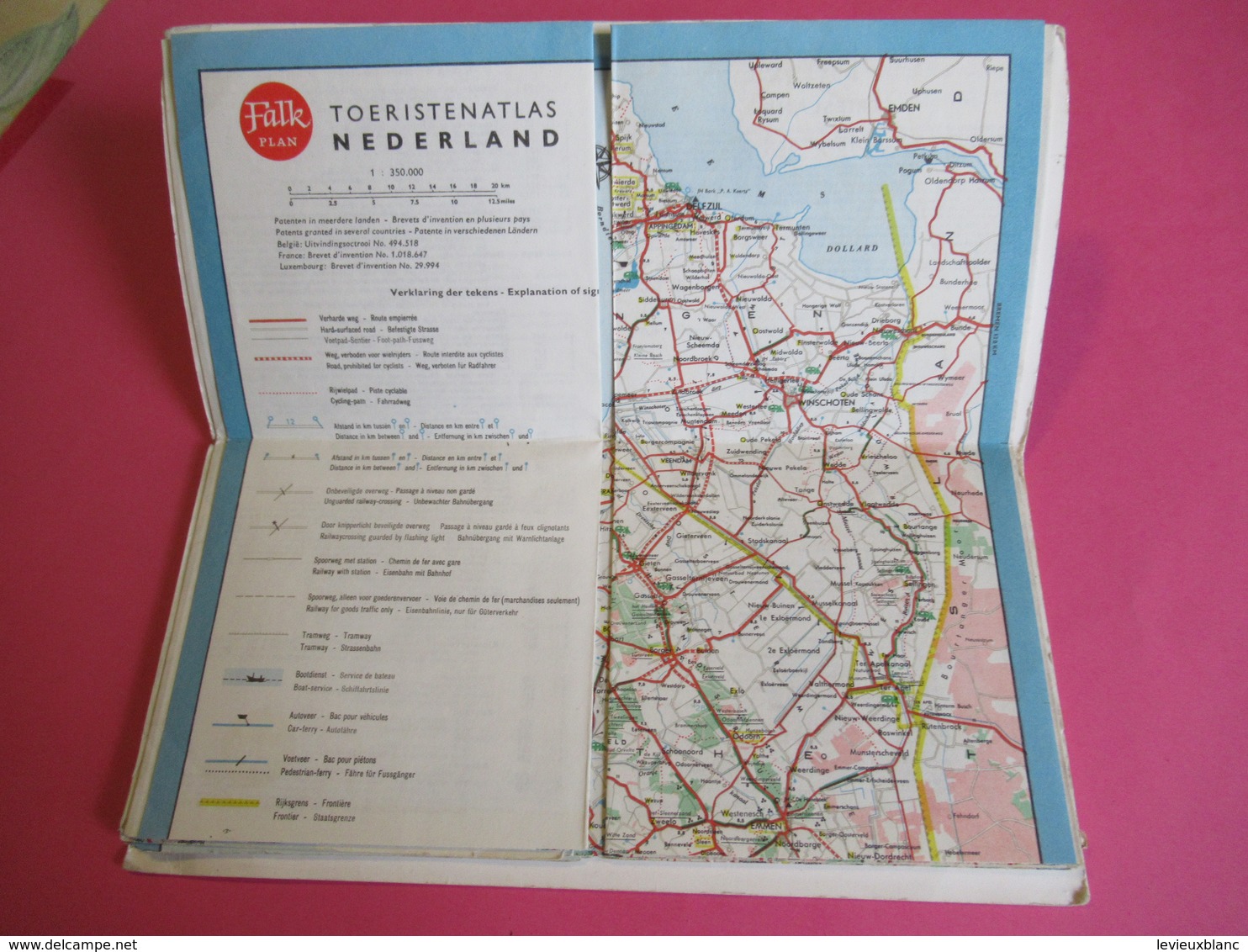
Toeristenatlas Van NEDERLAND / Falk Plan/ Cartografisch Instituut Bootsma/La Hague/HOLLANDE/ Vers 1960 PGC279

Toeristenatlas Van NEDERLAND / Falk Plan/ Cartografisch Instituut Bootsma/La Hague/HOLLANDE/ Vers 1960   PGC279 - Cartes Routières
Pointez sur l'image pour zoomer Cliquez pour agrandir l'image Cliquez pour démarrer la vidéo

Rejoignez la communauté des collectionneurs !

S'inscrire Se connecter